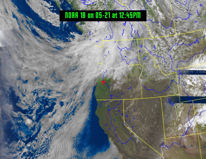
Weather satellite images recorded at Eugene OR, US
Latitude: 44.110, Longitude: -123.150
Weather Site: www.eugeneweather.net
Next Scheduled Satellite Passes Eugene, OR United States
* local time is Pacific Daylight Time. | ||||||||||||||||||||||||||||||||||||||||||||||||||||||||||
| Next Satellite Pass | ||
|---|---|---|
| Start Time | End Time | |
| NOAA 18 | 30 Apr 12:05 | 30 Apr 12:16 |
Receiver: Weather
Antenna: QFH
A 137 MHz NOAA APT satellite downlink was installed at the station site. The audio is processed by computer and WXTOIMG software to create the images seen above. Unfortunately this is old analog technology and many of the satellites have failed over time and NOAA has no interest in repairing/replacing only decommissioning these analog satellites.There can be long periods with no satellite passes to update the image. But with simple equipment these images can still be decoded. More info about NOAA APT satellites.
Click on any image below for a full sized image. Times are shown in Pacific Daylight Time.


